About Lycoming County
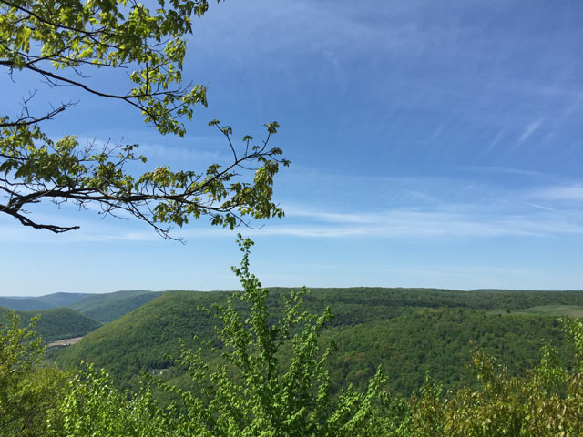
Lycoming County is a large county with a total area of 1,244 square miles. The southern third of the county is part of the ridge and valley region whereas the top two-thirds are part of the Allegheny plateau region.
The elevation and habitat differences between the southern lowlands and the northern forests allow a wide variety of species to winter and nest in the area.
The West Branch Susquehanna River flows through the southern portion of the county. Pine Creek, Larry's Creek, Lycoming Creek, Loyalsock Creek, and Muncy Creek are the major tributaries north of the river. White Deer Hole Creek is south of the river. All provide excellent birding opportunities.
South of the river valley are Bald Eagle Mountain and North White Deer Ridge which provide excellent hawk watching opportunities. North of the valley the Allegheny Front marks the beginning of the Allegheny Plateau region.
Lycoming County has three state parks: Little Pine, Susquehanna, and Upper Pine Bottom.
Tiadaghton State Forest is in the western part of the county and Loyalsock State Forest is in the eastern.
For more information, visit Lycoming County's Wikipedia page.
